UPDATE:
This story was published Thursday, October 22 at 9 AM. Hurricane Patricia is now a Category 5 storm expected to make landfall between Puerto Vallarta and Colima on Friday, October 23. Continue reading
Trending News on PVDN
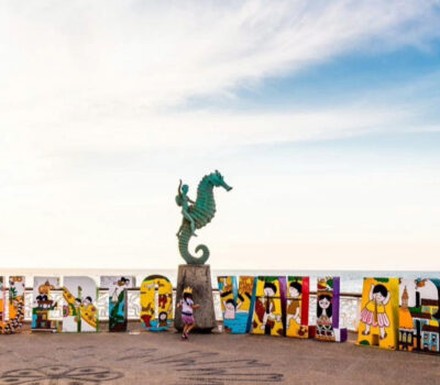 Puerto Vallarta needs a new image to create meaningful reasons for travelers to visit Business leaders at Jalisco Tourism Secretariat forums stressed the need for renewing Puerto Vallarta image and diversifying attractions to appeal to national and international markets. Local business leaders and tourism specialists agreed this week that Puerto Vallarta needs a fresh look and a broader range of attractions to compete at home and abroad. In a…
 Storm in Puerto Vallarta Sweeps Away Vehicles and Topples Trees A sudden storm in Puerto Vallarta Sunday night swept away vehicles, downed trees and poles, and triggered patrols to clear drains—no injuries or major damage reported. A fast-moving storm struck Puerto Vallarta late Sunday night, dumping heavy rain that swept away vehicles, uprooted trees and downed utility poles across the city. Despite several reported emergencies,…
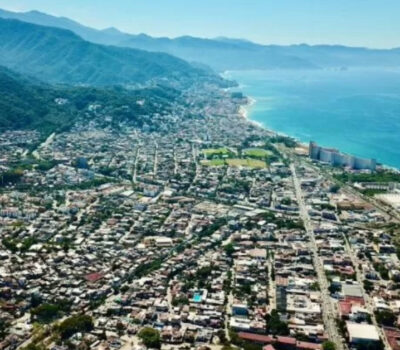 Jalisco is seizing real estate in Puerto Vallarta tied to organized crime Jalisco uses asset forfeiture to fight Puerto Vallarta money laundering by targeting properties linked to cartel funds and pursuing three major court cases. Jalisco authorities have launched a focused campaign to disrupt money laundering in Puerto Vallarta by seizing real estate tied to criminal networks. Using asset forfeiture as a legal tool, the state seeks…
 Couple Walks Young Lion on Leash Through Puerto Vallarta Streets Where are the police? A couple was filmed walking a young lion on a leash through Puerto Vallarta, raising safety and legal questions about exotic pets and public risk. A couple caused alarm late Saturday when they led a young lion through the streets of Puerto Vallarta on a thin dog leash. The pair, speaking…
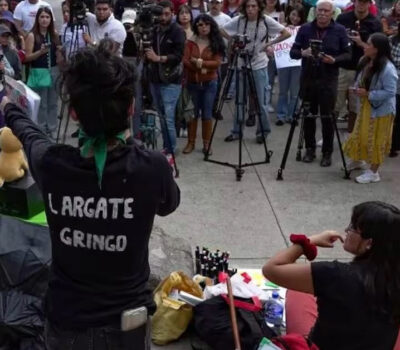 Mexico City Protests: There is a fine line between anti-gentrification and xenophobia The line between anti-gentrification and racism is clear if you choose to see it: genuine activism targets policy and practice, not nationality or ethnicity. I have lived in Mexico for two decades, and I have never witnessed the level of anti-American sentiment that exists today. All of it is tied to the buzzword "gentrification," a…
 Expats in Mexico using recently US sanctioned banks report issues with withdraws and transfers US sanctioned banks in Mexico have blocked transfers and capped withdrawals, leaving customers in limbo as they scramble for workarounds. Puerto Vallarta, Mexico - In late June 2025, the U.S. Department of the Treasury’s Financial Crimes Enforcement Network (FinCEN) issued its first ever orders under the 2024 FEND Off Fentanyl Act (FOFA), formally declaring CIBanco…
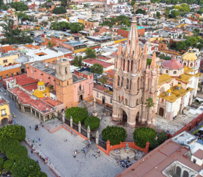 San Miguel de Allende Named Best City in the World Again for fourth consecutive year San Miguel de Allende secured its sixth overall and fourth straight title as the best city in the world for 2025, earning a 93.33% reader score in Travel and Leisure’s annual survey. San Miguel de Allende claimed top honors yet again, earning the title of best city in the world for 2025 from Travel and…
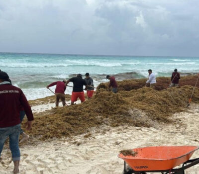 Sargassum in Quintana Roo Hits 76 Beaches from Cancun to Tulum, Only 24 Clean Beaches Sargassum in Quintana Roo has reached moderate to excessive levels on 76 beaches—including Cancun—as cleanup crews race to protect tourism and coastal ecosystems. A recent survey from the Quintana Roo Sargassum Monitoring Network and the Sargassum Citizen Observatory shows 76 out of 100 beaches on the state’s Caribbean coast now face moderate to excessive seaweed…
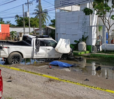 Puerto Vallarta police chase ends in deadly collision in Bahía de Banderas A Puerto Vallarta police chase along Highway 200 ended in a deadly collision in Bahía de Banderas, leaving two people dead. A high-speed chase that began in Puerto Vallarta, Jalisco, and ended in Bahía de Banderas, Nayarit, left at least two people dead and raised new questions about police engagement and road safety in the…
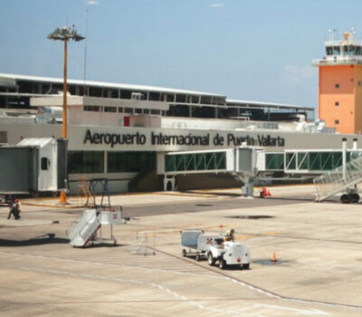 Puerto Vallarta Airport records a decline in passenger arrivals, International Visits Down 5.8% Airport arrivals decline June at Puerto Vallarta airport, with passenger traffic dipping 0.1% year over year even as first-half 2025 volumes rose 1.2% on strong domestic growth and weaker international bookings. Puerto Vallarta International Airport saw its June passenger count slip 0.1 percent compared with the same month in 2024, registering 511,100 arrivals versus 511,500…

