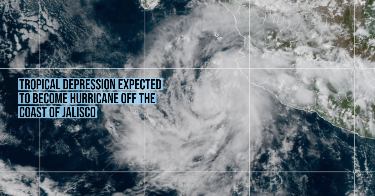
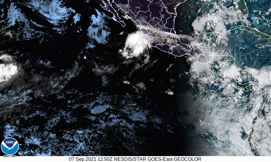
The storm off the coast of Jalisco strengthened in recent hours and according to the National Meteorological Service (SMN), it has a 90% chance of becoming a tropical storm in the next day and strengthening to a category one hurricane. If the forecast holds, the storm will become Hurricane Olaf.
Read the latest news about Olaf here
At 1:00 p.m. on Tuesday, September 7, the system was located about 290 kilometers southwest of Playa Pérula, Jalisco.
The climate agency indicated that the low-pressure zone is moving slowly away from Mexico. Although it’s moving away from the coast, throughout the day its cloud bands will leave heavy rains in at least five western states.
The largest accumulations are expected in Nayarit, Jalisco, and Michoacán, with records ranging from 50.1 to 75 millimeters. In addition, heavy rainfall is forecast in Sinaloa and Colima, from 25.1 to 50 millimeters.
“It will also cause high waves and strong gusts of wind in the west of the country,” warned the SMN, which asked the population to “take extreme precautions” and follow the instructions of Civil Protection.
September and October are the most dangerous months of the hurricane season, being the period in which a greater number of events are concentrated.
The storm off the coast of Jalisco strengthened in recent hours and according to the National Meteorological Service (SMN), it has a 90% chance . . .


")


