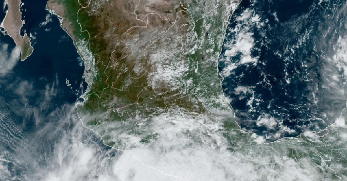
Tropical Storm John has reformed in the Pacific and is expected to make landfall tomorrow afternoon, Thursday, September 26, between Atoyac de Álvarez and Ixtapa, Guerrero. Remnants from Tropical Storm John that made landfall in Guerrero, killing at least three people earlier this week, have strengthened into another tropical storm. The Mexican National Weather Service issued warnings today, urging extreme caution as the storm approaches the southwestern coast of Mexico.
As of 12:00 p.m. today, Tropical Storm John’s center was located approximately 170 km southwest of Acapulco. The storm is moving northeast at a slow pace of 5 km/h, with maximum sustained winds reaching 75 km/h. Its current trajectory puts several regions at risk for severe weather conditions, particularly the state of Guerrero, which is expected to experience heavy to torrential rains.
Weather Impact
The storm is predicted to bring significant rainfall to several areas of southern Mexico, with Guerrero set to receive the brunt of the storm. Rainfall accumulation as of Wednesday evening (6 p.m. Central Mexico time) is forecasted as follows:
- Guerrero: 615 mm
- Southern Oaxaca: 535 mm
- Western Chiapas: 40 mm
- Southeastern Michoacán: 50 mm
Given the heavy rainfall predictions, residents of these regions, especially those in Guerrero, are urged to prepare for potential flash flooding, river overflows, and landslides. The risk is particularly high in areas with unstable slopes, where landslides could pose a severe threat to communities.
Hurricane Warning Zones
A hurricane warning has been issued for coastal areas from Acapulco to Zihuatanejo. Residents in these areas are strongly advised to take all necessary precautions, including securing their homes and preparing for the possibility of evacuation.
Recommendations for Residents in Risk Areas
Local authorities are issuing several recommendations to ensure the safety of residents as the storm approaches:
- Avoid River and Stream Banks: Sudden rises in water levels and flash flooding can occur with little warning. Stay away from rivers and streams during the storm.
- Identify Temporary Shelters: Those living in high-risk areas should locate a nearby shelter in case evacuation becomes necessary. Information on shelters can be obtained from local Civil Protection units or by calling 911.
- Home Repairs and Safety Precautions: Ensure that roofs, windows, and walls are secure to minimize storm damage. Clean gutters, drains, and other water channels to prevent flooding in homes.
- Trim Trees and Bushes: Trees and large shrubs around your home can become dangerous projectiles during strong winds. Trim back any branches that could cause damage.
- Secure Loose Objects: Items such as television antennas, signs, and other hanging objects should be secured to prevent them from being blown away by high winds.
- Prepare an Emergency Backpack: An emergency kit should include essential items like water, food, and medications, as well as important documents. Documents should be stored safely, either in physical form or by scanning them and saving them on a USB drive or emailing them to yourself for easy access.
Potential Threat to Communities
As the storm edges closer to the coast, there are growing concerns about its impact on local infrastructure, particularly in rural communities that may be more vulnerable to flooding and landslides. The combination of heavy rainfall and the slow movement of the storm could exacerbate conditions, particularly in low-lying areas.
Civil Protection units have been placed on high alert, and residents are encouraged to follow official channels for updates on the storm’s progress. The government has activated emergency response plans, which include positioning rescue and relief teams across the affected areas. Local shelters have been prepared to accommodate evacuees, and authorities are urging residents to remain vigilant and heed warnings.
Conclusion
Tropical Storm John’s reformation in the Pacific poses a significant risk to the southwestern coast of Mexico, with Guerrero expected to be hit hardest. As the storm prepares to make landfall, residents in the affected areas should prioritize safety and take immediate measures to protect their homes and families. Continued updates will be provided by the Mexican National Weather Service as the situation develops.
In the meantime, those in the storm’s projected path are urged to take the recommendations seriously and to stay informed about emergency procedures in their communities.
Tropical Storm John has reformed in the Pacific and is expected to make landfall tomorrow afternoon, Thursday, September 26, between Atoyac de Álvarez and Ixtapa, Guerrero. Remnants from Tropical Storm John that made landfall in Guerrero, killing at least three people earlier this week, have strengthened into another tropical storm. The Mexican National Weather Service issued warnings today, urging extreme caution as the storm approaches the southwestern coast of Mexico.


