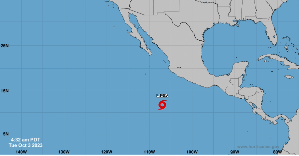
PUERTO VALLARTA (PVDN) — The system that meteorologists have closely monitored for several days off the Pacific Coast of Mexico has officially developed into a tropical storm, dubbed Lidia. The National Weather Service (NWS) announced the storm’s formation early this morning, issuing advisories based on improved satellite imagery and wind data.
Formerly known as Invest 98E, the system has gained notable organization, particularly in deep convection—strong upward air movement leading to cloud and thunderstorm formation—located near or just west of its estimated center. Cur curved banding features have also been observed, indicating the storm’s strengthening. The scatterometer confirmed the development of a well-defined closed circulation featuring winds ranging between 30 to 35 knots along the storm’s western flank.
Lidia’s initial motion is reportedly west-northwest at a speed of 8 knots. This current trajectory is attributed to its movement along the southern flank of a mid-level atmospheric ridge centered over Mexico and the western Gulf of Mexico. A mid-to-upper-level trough to its northwest will erode this ridge, causing Lidia to turn toward the northwest or north-northwest within 24-48 hours. While models agree on this initial poleward turn, they diverge significantly beyond the 48-hour mark, introducing uncertainty into the storm’s longer-term path.
As for its future intensity, Lidia faces moderate easterly shear, which may limit its strengthening. However, environmental conditions like sea-surface temperatures near 30 degrees Celsius and ample mid-level moisture favor intensification.
For continuous updates, follow our weather section and stay tuned for advisories from the National Weather Service.
Reporting based on information provided by the National Weather Service.
PUERTO VALLARTA (PVDN) — The system that meteorologists have closely monitored for several days off the Pacific Coast of Mexico has officially developed into a . . .


