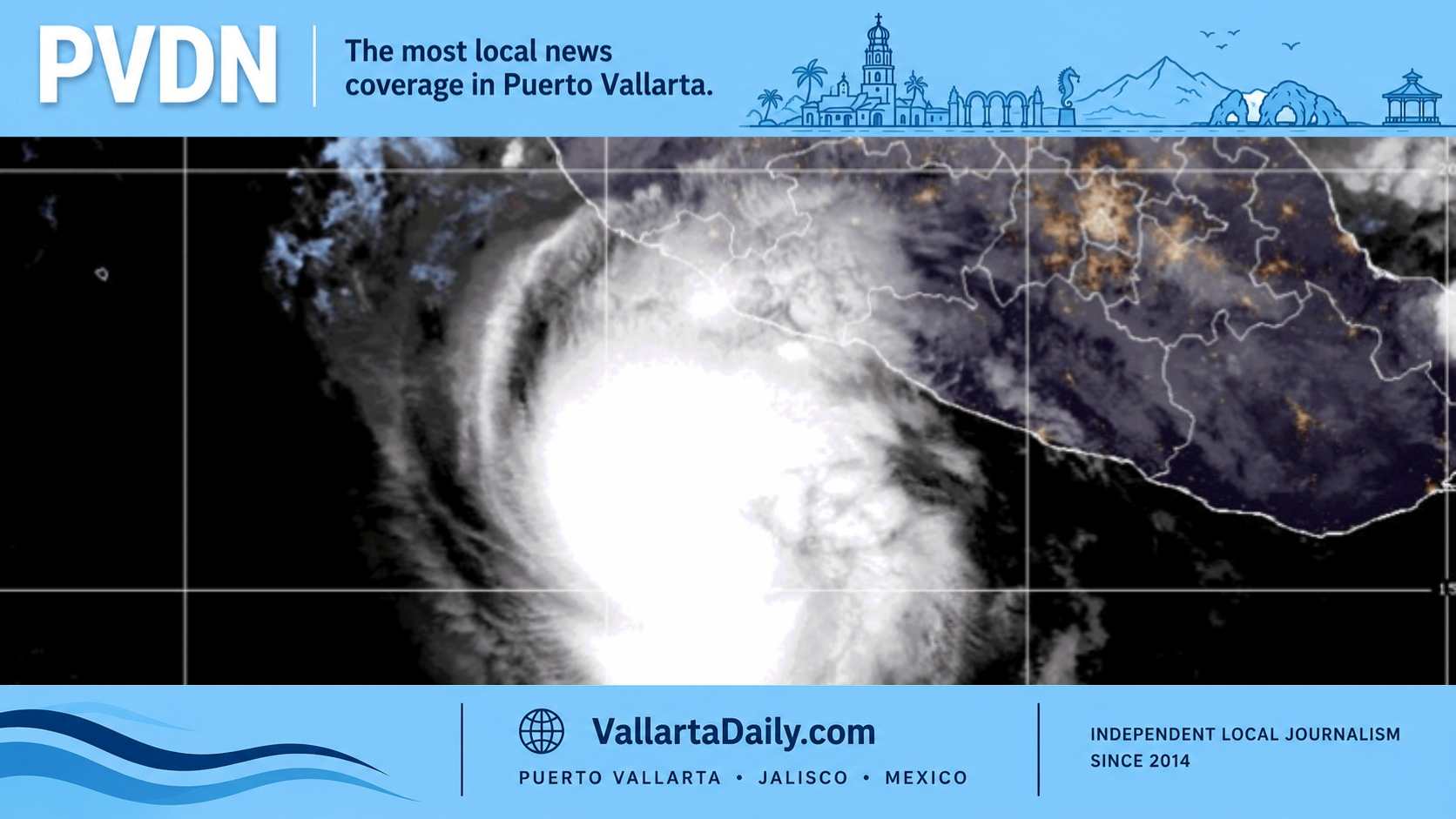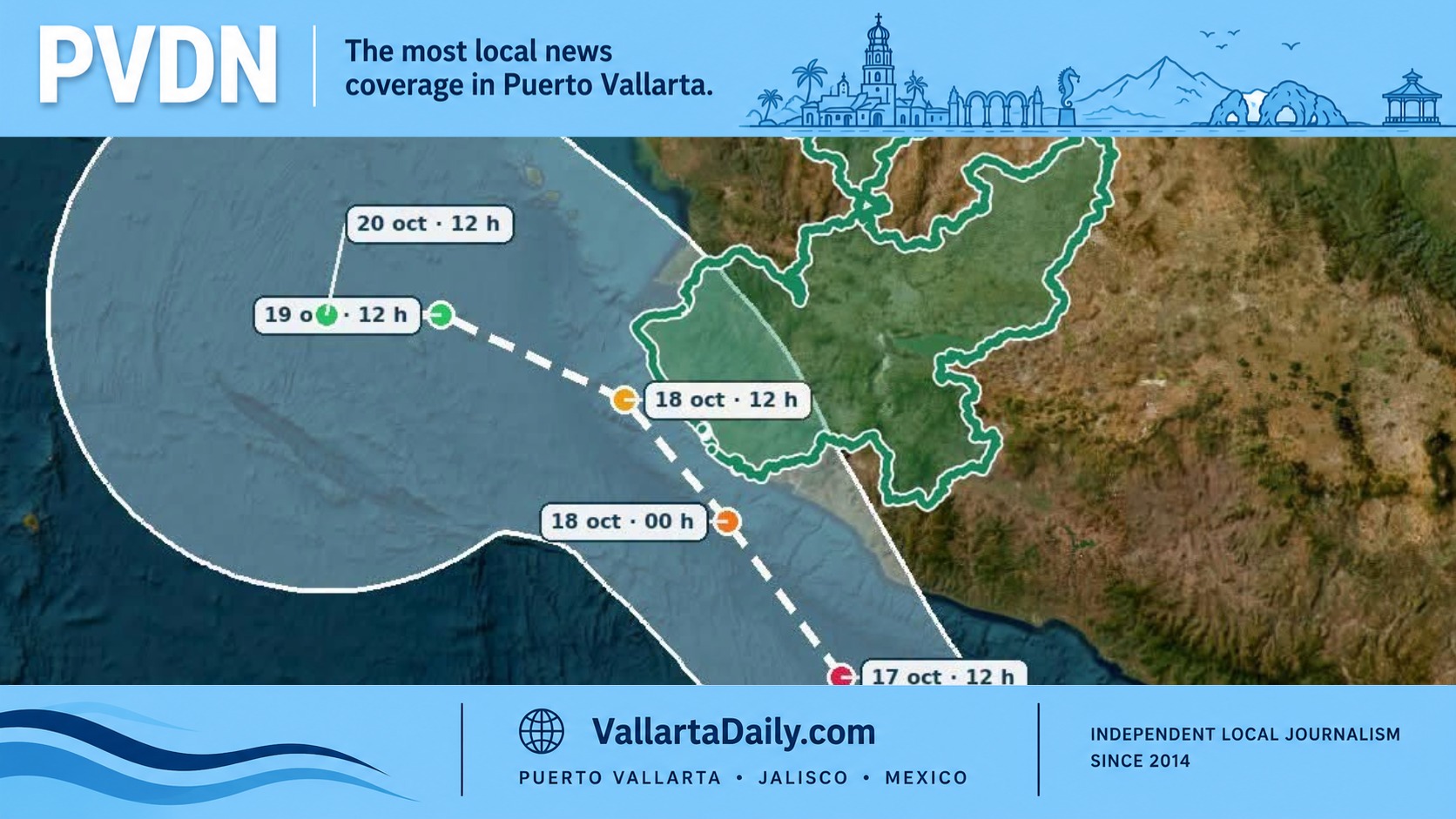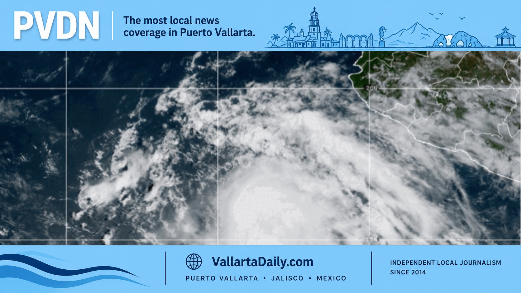
Puerto Vallarta, Jalisco, Sept. 1, 2026 — Tropical Storm Marie formed early Tuesday well southwest of Manzanillo, while forecasters said its circulation could increase afternoon and evening storms around Banderas Bay.
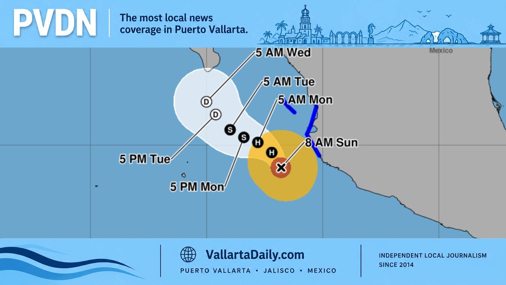
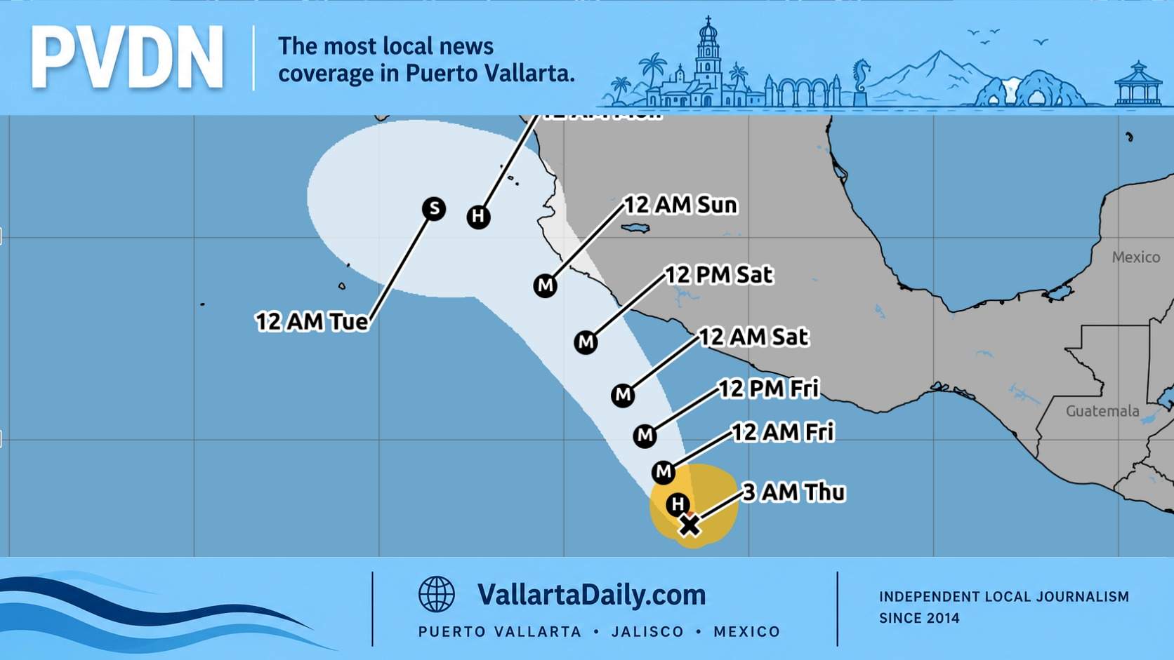
According to the National Hurricane Center’s 8 a.m. MST advisory, Marie was 645 kilometers southwest of Manzanillo, Colima. It had sustained winds of 75 km/h and was moving northwest at 15 km/h.
No coastal watches or warnings were in effect. The agency’s published forecast positions kept Marie offshore as it moved farther into the Pacific.
Rain Is the Immediate Local Concern
Jalisco Civil Protection said Marie’s circulation would bring additional moisture into the state and support thunderstorms throughout Tuesday. The agency placed the statewide rain probability between 60% and 80%.
The forecast called for gusts of 30 to 40 km/h across much of Jalisco. Gusts could exceed 56 km/h within stronger thunderstorms. Those figures cover the state and are not a neighborhood-level forecast for Puerto Vallarta.
Meteorologist Víctor Manuel Cornejo López said Marie was traveling roughly parallel to the coast but remained distant. He attributed the regional storm potential to Marie and tropical waves 34 and 35, rather than the cyclone alone.
The National Meteorological Service forecast 50 to 75 millimeters of rain in parts of Jalisco. It did not indicate that those totals would occur throughout Puerto Vallarta.
For residents and commuters, the forecasts point to heavy downpours, reduced visibility and localized street flooding as the immediate risks. They do not place tropical-storm-force winds over the city.
Rain Was Already Falling Across Banderas Bay
Local rain gauges recorded substantial rainfall Monday before Marie became a named storm.
A Tuesday gauge report listed 75 millimeters in Valle Dorado, 66.4 millimeters in Higuera Blanca and 42 millimeters in Ixtapa. Sayulita received 36.6 millimeters, while Las Palmas recorded 30.8 millimeters.
Forecasters expected cloud cover to increase around Puerto Vallarta and Bahía de Banderas during the afternoon, followed by possible evening or nighttime rain.
Recent Flooding Keeps Mojoneras at Risk
The added storm chance comes less than two weeks after flooding damaged homes in Las Mojoneras.
Jalisco Civil Protection reported 18 flooded homes on Aug. 22. Water reached 20 to 40 centimeters inside some properties and damaged furniture, appliances and other belongings.
Our earlier reporting on recurring Vallarta flooding examined the limited drainage capacity beneath Avenida México. The vulnerable area includes the crossing near Las Flores and the channel leading toward Estero El Salado.
The Puerto Vallarta City Council approved preparation of a hydraulic and road project Monday. The proposal includes changes to two Avenida México bridges and expansion of the channel beneath them. Technical design, funding and procurement still must be completed.
Marie Could Become a Hurricane Offshore
We compared the National Hurricane Center’s first two advisories Tuesday. Marie’s sustained winds remained at 75 km/h, but its tropical-storm-force wind field expanded from 260 kilometers to 335 kilometers.
The morning bulletin described Marie as “gradually becoming better organized.” Forecasters expected it to reach hurricane strength Wednesday night before turning more toward the west-northwest Thursday.
The National Hurricane Center also warned that swells from Marie would affect portions of southwestern Mexico during the next several days. The agency said those swells could produce “life-threatening surf and rip current conditions.”
The federal advisory did not identify individual Puerto Vallarta beaches. The local weather report for Tuesday calls for waves of 2 to 3 meters along parts of Jalisco’s coast, along with a renewed late-day thunderstorm risk.