California, located on the west coast of the United States, has been prone to earthquakes, droughts, and abundant wildfires every year for generations. But several scientists have warned in recent days that a big storm is coming that could unleash a devastating flood, as happened in 1862.
160 years ago, 30 consecutive days of rain triggered a monster flood that swept across much of the state and changed the course of the Los Angeles River, moving its mouth from Venice to Long Beach.
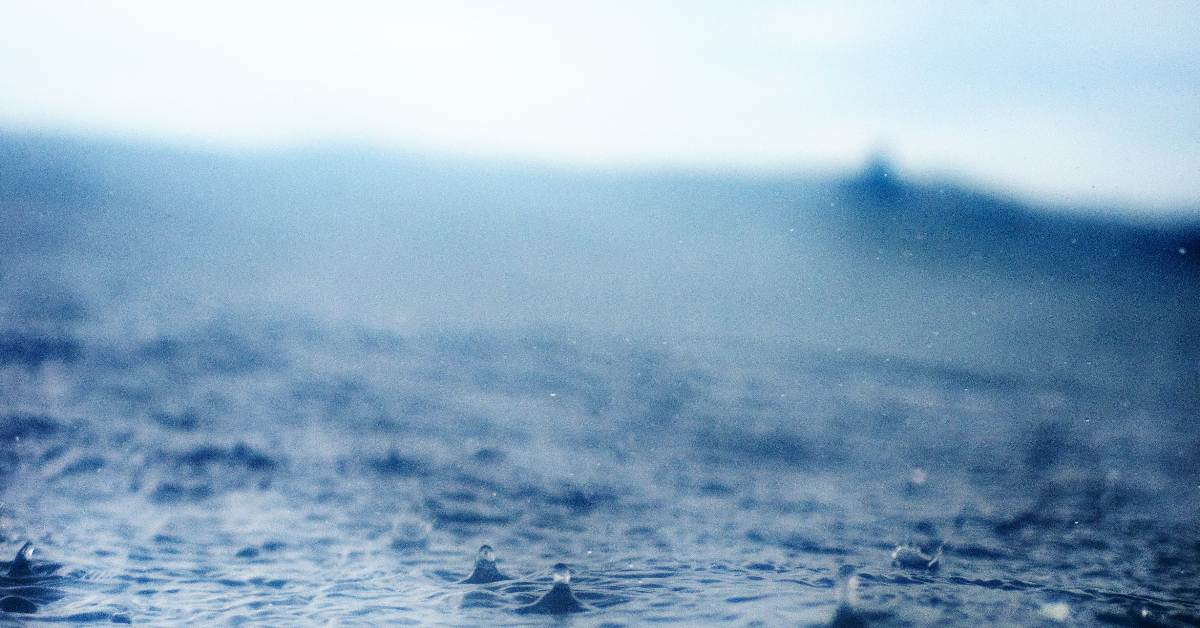
According to new scientific research, the storm is very likely to originate in the Pacific near Hawaii. No one knows exactly when, but from the vast expanse of tropical air around the equator, atmospheric currents will rip off long clouds of water vapor and funnel them toward the West Coast.
This column of steam, accompanied by fierce winds will be hundreds of kilometers wide and almost 2,000 kilometers long. It will carry so much water that if it were all turned to liquid, its flow would be about 26 times greater than what the Mississippi River discharges into the Gulf of Mexico at any given time. When this moisture torpedo reaches California, it will hit the mountains and be pushed up. This will cool down the vapor payload and kick off weeks of rain and even snow.
According to the work of Science Advances, if a similar storm were to occur today, up to 10 million people would be displaced, major interstate highways such as the 5 and 80 would be closed for months, and population centers such as Stockton, Fresno, and parts of Los Angeles would be submerged.
The coming superstorm is actually a rapid procession of what scientists call atmospheric rivers, which will be the ultimate test of the dams, levees, and diversions that California has built to harness the power of nature.
Currently, global warming is not only worsening droughts and forest fires. Because warmer air can hold more moisture, atmospheric rivers can carry higher loads of precipitation. The infrastructure design standards, hazard maps, and disaster response plans that protected California from flooding in the past could soon be history.
Scientists say in the study that as humans burn fossil fuels and warm the planet, they increase the 1 in 50 chance each year that California will experience a statewide megastorm of this severity for a month or so. In the coming decades, if average global temperatures rise another 1.8 degrees Fahrenheit, or 1 degree Celsius, and current trends suggest that they will, then the probability of such storms will increase further, to nearly 1 in 30.
However, geological evidence suggests that the West has been hit by cataclysmic flooding multiple times over the last millennium, and the new study provides the most advanced insight yet into how this threat is evolving in the age of man-made global warming. The researchers specifically considered hypothetical storms that are extreme but realistic, and likely to cause flooding in California. According to their findings, powerful storms that were previously not expected to occur in an average human lifetime are rapidly becoming storms with significant risks of occurring every 50 years or less.
Climate change overloads heavy rain events, causing flash floods to occur more regularly, as has been observed several times in eastern Kentucky, St. Louis, and even in California’s Death Valley National Park.
“We were lucky to avoid it in the 20th century,” said Daniel L. Swain, a climate scientist at the University of California, Los Angeles, who prepared the new study with Xingying Huang of the National Center for Atmospheric Research in Boulder, Colorado. “I would be very surprised if it is avoided in 21″. Unlike a giant earthquake, the other “Big One” threatening California, an atmospheric river superstorm won’t sneak up on the state. Forecasters can now spot incoming atmospheric rivers 5 days to a week in advance, though they don’t always know exactly where they will hit or how intense they will be.
Using the findings of Dr. Huang and Dr. Swain, California hopes to be ready even sooner. With the help of supercomputers, state officials plan to map how all that precipitation will make its way through rivers and into the land. They will look for loopholes in evacuation plans and emergency services.
The last time government agencies studied a hypothetical California megaflood, more than a decade ago, they estimated it could cause $725 billion in property damage and economic disruption. That was three times the projected consequences of a major San Andreas fault earthquake and five times the economic damage of Hurricane Katrina, which left much of New Orleans under water for weeks in 2005.
Swain and Huang gave California a new script for what could be one of the most challenging months in its history. Now the dress rehearsals begin. “Mother Nature has no obligation to wait for us,” said Michael Anderson, a California state climatologist. In fact, nature has wasted no time testing California’s defenses. And when it comes to risks to the water system, carbon dioxide in the atmosphere isn’t the only enemy of the state.
The area with the most destruction would be California’s Central Valley, including Sacramento, Fresno, and Bakersfield, the study authors project. The Central Valley, which is about the size of Vermont and Massachusetts combined, produces a quarter of the country’s food supply, according to the US Geological Survey.
This would cost 5 times that of Hurricane Katrina, the costliest catastrophe in US history. “Such a flood in modern California would likely exceed the damage of a major earthquake by a considerable margin,” concluded the study.
California, located on the west coast of the United States, has been prone to earthquakes, droughts, and abundant wildfires every year for generations. But . . .


")


