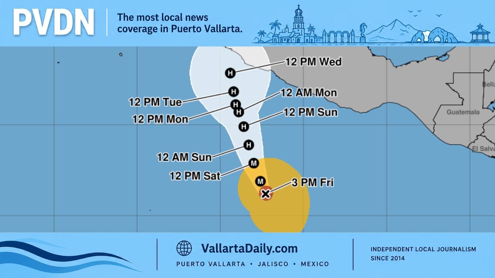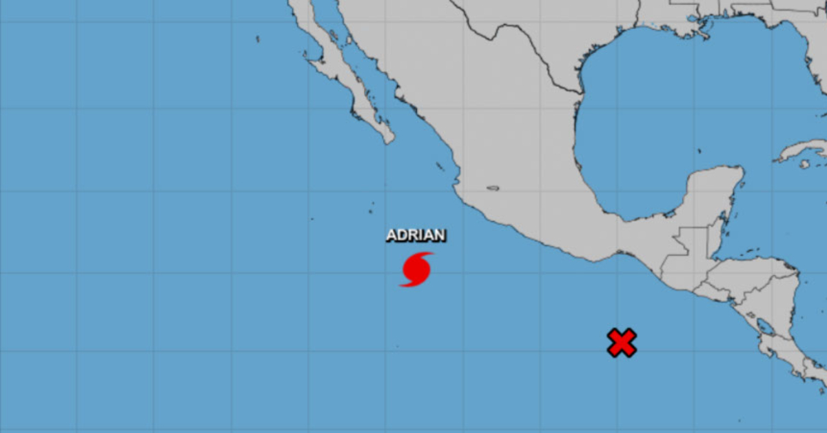
PUERTO VALLARTA (PVDN) — Mexico faces severe weather conditions as Category 1 Hurricane Adrian and Tropical Wave No. 8 converge on its coasts. Adrian, having escalated in strength on the Saffir-Simpson scale, is moving away from the western Mexican coast but is expected to cause heavy rain and high winds.
This morning, winds with gusts of 40 to 50 km/h and waves measuring between 1 and 3 meters high were reported on the coasts of Jalisco, Colima, and Michoacán. Experts warn that torrential downpours can lead to increased levels of rivers and streams, landslides, and potential flooding.
Simultaneously, Tropical Wave No. 8 is merging with a low-pressure zone off the coasts of Oaxaca and Chiapas. The zone, which has a high probability of developing into a cyclonic system or possible tropical cyclone, will cause torrential rains in Oaxaca and Chiapas. Strong to intense rains are expected across the southeast of the country and the Yucatan Peninsula, accompanied by electric shocks and wind gusts.
Forecasts for today reveal a widespread rain alert across the country. Oaxaca and Chiapas will face the most intense conditions, with expected rainfall between 150 to 250 mm. The south of Tabasco and Veracruz is predicted to receive between 75 to 150 mm of rain. Rainfall of 50 to 75 mm is predicted for Jalisco, Colima, Michoacán, Guerrero, and Campeche. Other areas including Sonora, Chihuahua, Nayarit, Guanajuato, State of Mexico, Puebla, and Quintana Roo can expect between 25 to 50 mm. Sinaloa, Durango, Zacatecas, Tamaulipas, San Luis Potosí, Querétaro, Hidalgo, Tlaxcala, Mexico City, Morelos, and Yucatán should prepare for intervals of showers between 5 to 25 mm. Lastly, Aguascalientes may experience isolated rains.
In terms of temperature, maximum readings of 40 to 45 °C are expected in Baja California, Sonora, Sinaloa, Chihuahua, Coahuila, Nuevo León, and Tamaulipas. Meanwhile, minimum temperatures between 0 and 5 °C will chill the mountainous areas of Baja California, State of Mexico, Hidalgo, Puebla, and Tlaxcala.
The wind and wave forecast for today includes gusts of 60 to 80 km/h, and dust storms in Sonora, Chihuahua, Coahuila, Nuevo León, Tamaulipas, San Luis Potosí, Zacatecas, and Durango. Winds of 50 to 60 km/h with waves of 1 to 3 meters high are expected in the Gulf of Tehuantepec and coasts of Oaxaca and Chiapas.
Residents along the western coast of the Baja California Peninsula should prepare for waves from 1 to 2 meters high. The Mexican government has urged its citizens to heed local warnings and stay safe during this turbulent weather period.
Authorities are closely monitoring the situation and emergency services are on high alert to provide aid and relief as required.