The storm moving through the Pacific Ocean continues to strengthen and already has an 80% chance of becoming a tropical cyclone in the next 48 hours, and a 90% chance of evolving within five days.
Through a statement, the National Meteorological Service (SMN) warned that the system is very close to the coast of Guerrero, just 320 kilometers south-southeast of Acapulco. It is moving west-northwest at 16 kilometers per hour, and according to the trajectory forecast of the National Hurricane Center of Miami (NHC, for its acronym in English), it will continue to travel a short distance from the coast of Mexico.
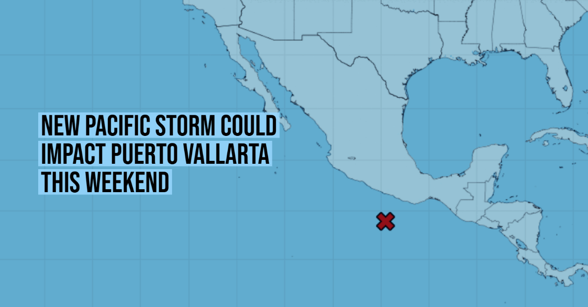
“This storm is expected to be near the southern or southwestern coast of Mexico during the weekend, and stakeholders in those areas should monitor their potential for cyclonic development, as well as the threat of heavy rains and floods,” said the NHC.
From the Mexican climate agency, they urged the population of Chiapas, Oaxaca, Jalisco, Colima, Michoacán, and Guerrero to take extreme precautions, since in those states the low-pressure zone will leave heavy and intense rains this Thursday, June 24, with accumulations of up to 150 millimeters. Due to the influence of the low-pressure zone, gusts of 50 to 60 km / h are also expected on the coasts of Guerrero and Oaxaca, as well as waves of up to three meters in height in both states.
At the moment, the system registers maximum sustained winds of 30 kilometers per hour, with more intense gusts of up to 40 km / h. To evolve into a tropical cyclone, its winds must reach a speed of 65 kilometers per hour.
If the forecasts are correct, this system could become Enrique, the fifth tropical storm of the season after Andrés, Blanca, Carlos, and Dolores. The latter made landfall last Saturday in Michoacán and left more than 52,000 people without electricity in several entities, and a balance of one fatality.
Hurricane season 2021 in the Pacific Ocean
This year, the hurricane season in the Pacific began earlier than ever. Tropical storm Andrés formed on Sunday, May 9, off the coasts of Jalisco and Michoacán, and in doing so it broke a historical record, since never before, since there are records, had a system of that magnitude originated so soon in the northeastern part of this ocean. The previous record had been set by Tropical Storm Adrián, which emerged on May 10, 2017.
In addition, Andrés also anticipated the official start of the hurricane season in the Pacific, which begins each year on May 15 and ends on November 30.
According to the SMN, the following systems are expected in 2021:
- Tropical storms: between 7 and 10.
- Strong hurricanes (categories 1 and 2 ): from 3 to 5.
- Intense hurricanes (categories 3, 4 or 5): from 4 to 5.
Total: between 14 and 20 tropical cyclones.
The data is in the average collected for this Ocean between 1991 and 2020, which is 15 cyclones.
Names for the Northeast Pacific: Andrés -already used-, Blanca -already used-, Carlos -already used-, Dolores -already used-, Enrique, Felicia, Guillermo, Hilda, Ignacio, Jimena, Kevin, Linda, Marty, Nora, Olaf, Pamela, Rick, Sandra, Terry, Vivian, Waldo, Xina, York, Zelda.
Related News
The storm moving through the Pacific Ocean continues to strengthen and already has an 80% chance of becoming a tropical cyclone in the next . . .


