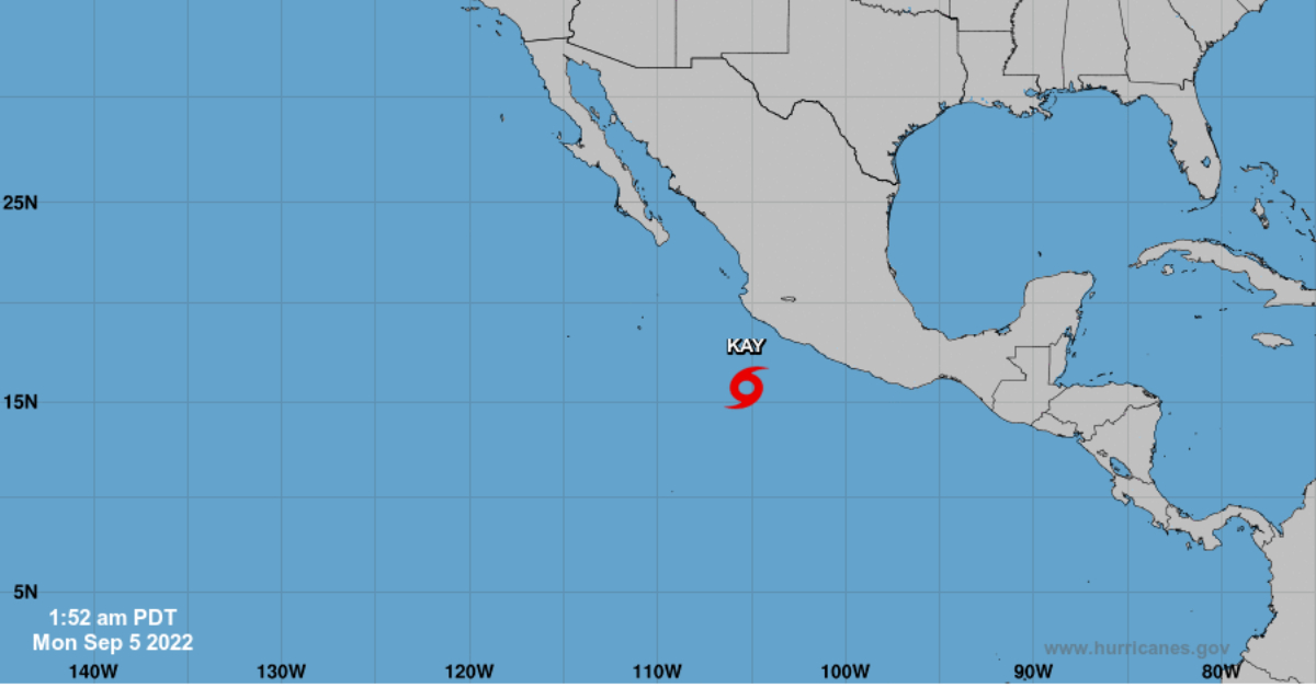
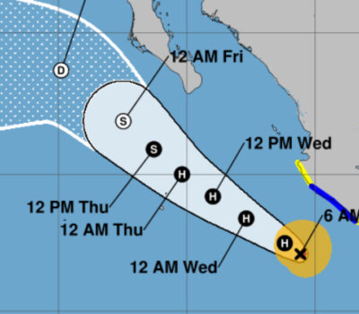
According to the weather report of the National Meteorological System ( SMN ), until 04:00 in the morning Tropical Storm Kay was located 380 km from Manzanillo, Colima, and 350 km southwest of Punta San Telmo, Michoacán, moving west-northwest at 24 km/h with gusts of up to 110 km/h.
The agency announced during the early morning that the storm, generated from the tropical depression “Twelve-E”, will cause heavy to intense rains throughout the day, which could generate an increase in the levels of rivers and streams, landslides, and floods in the western, central and southern states of Mexico, including the State of Jalisco.
Until last night’s report on Sunday, the tropical storm was located off the coast of Guerrero, causing rains, strong winds, and high waves on the coasts of Jalisco, Colima, Michoacán, Guerrero, and Oaxaca.
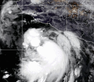
The extensive circulation of this system interacts with a low-pressure channel over the west and center of the country, producing punctual torrential rains in Guerrero; intense punctual in Nayarit, Jalisco, Colima, Michoacán, and Oaxaca, and strong punctual in Zacatecas, Guanajuato, Querétaro, State of Mexico, Mexico City and Morelos.
Flooding in Puerto Vallarta has already been reported across the area, including more flooding at the regional hospital.
In Ixtapa, on Gaviota Street in Los Tamarindos, firefighters received a report of a car being dragged by the current, in the same delegation in the La Mina neighborhood there is also a report of flooded homes.
Kay will also bring winds with gusts of 80 to 100 km/h on the coasts of Guerrero, Michoacán, and Colima and winds with gusts of 60 to 80 km/h on the coasts of Oaxaca and Jalisco, in addition to waves of 2 to 4 meters high in the coasts of the mentioned states.
Civil Protection authorities recommended taking extreme precautions for the population in general in the areas of the states mentioned due to rain, wind, and waves (including maritime navigation) and heed the recommendations issued by the authorities of the National Civil Protection System, in each entity.
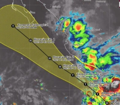
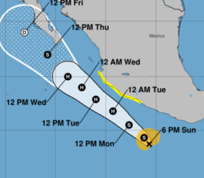
For this Monday, tropical storm Kay will be located southwest of the coast of Michoacán. Its extensive cloud bands in interaction with a low-pressure channel over the west, center, and south of the country, will cause intense punctual rains in Sinaloa, Jalisco, Colima, and Michoacán. Kay will strengthen throughout the day with a forecast of reaching a category two storm.
In addition, wind with gusts of 90 to 110 km / h is forecast on the coasts of Jalisco, Colima, and Michoacán, as well as waves of 3 to 5 meters high on the coasts of Jalisco, Colima, and Michoacán.
Kay is forecasted to make its closest approach to Puerto Vallarta on Tuesday, September 6, 2022, in the morning and early afternoon hours.
According to the weather report of the National Meteorological System ( SMN ), until 04:00 in the morning Tropical Storm Kay was located 380 km . . .

