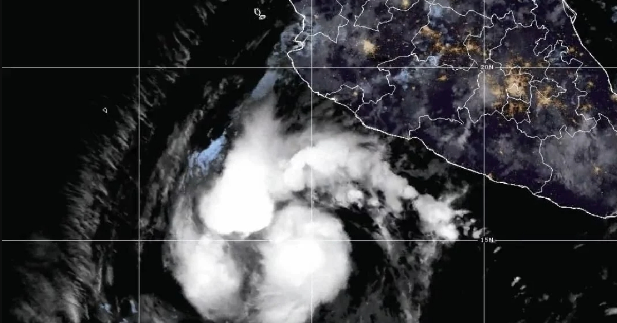
Puerto Vallarta, Mexico – Tropical Cyclone Kristy, the eleventh storm of the 2024 Northeast Pacific hurricane season, is expected to bring heavy rainfall and strong winds to several regions across Mexico. As the storm moves off the coasts of Jalisco and Colima, it will intensify weather conditions in various parts of the country, particularly along the Central Pacific coast.
Impact on Western Mexico
Kristy is projected to generate very heavy rainfall, primarily affecting the states of Jalisco, Colima, Michoacán, and Guerrero. The intense rains, coupled with strong winds, are expected to result in hazardous conditions for coastal regions, including the potential for flash flooding, landslides, and high waves reaching between 1 and 3 meters in height.
The tropical cyclone’s wide circulation will interact with a low-pressure channel extending over Mexico’s north, west, center, and south, further intensifying rain activity. Forecasters predict that rainfall will range from significant downpours of 50 mm to very strong showers reaching 75 mm, with wind gusts up to 60 km/h along the Central Pacific coastline. Maritime activities are likely to be significantly disrupted as the storm’s high waves pose a risk to vessels and coastal infrastructure.
Rainfall Spread Across Central and Northern Mexico
In addition to the coastal states, the effects of Tropical Cyclone Kristy will extend inland. Central regions, including Mexico City, the State of Mexico, Querétaro, San Luis Potosí, and Morelos, are expected to experience scattered showers, with rainfall exceeding 30 mm in certain areas. Northern states such as Durango, Zacatecas, and Aguascalientes will also see moderate rainfall, contributing to an overall wet spell across the country.
While the cyclone’s westward trajectory will eventually lead it away from Mexico’s coastline, the immediate effects will continue to be felt, particularly in regions vulnerable to heavy rains and potential flooding. The National Meteorological Service has warned that even as Kristy moves offshore, it will still deliver significant amounts of rain, a pattern that aligns with typical autumn tropical storm activity in the Pacific.
Subtropical Jet Stream Adds to Weather Woes
In addition to the impacts of Cyclone Kristy, the subtropical jet stream over northern and northeastern Mexico is expected to cause further disturbances. Strong wind gusts, dust storms, and light rainfall are anticipated in the northeastern regions of the country. This jet stream, a fast-moving air current, often contributes to erratic weather patterns during this time of year.
Government Urges Preparedness and Vigilance
Mexican authorities are advising the public to stay vigilant as Cyclone Kristy progresses. Civil Protection agencies are particularly concerned about the risks to coastal communities and regions prone to flooding and landslides. Residents in affected areas are being urged to monitor official updates and heed any evacuation or safety instructions issued by local officials.
Maritime activities, including fishing and shipping, are expected to be significantly impacted, with authorities recommending extreme caution or suspension of operations along affected coastal zones. Coastal residents and businesses are being advised to secure their properties and avoid unnecessary travel during the peak of the storm’s impact.
Tropical Cyclone Kristy presents a serious weather threat to Mexico’s Pacific coast and several inland regions, with heavy rains, strong winds, and dangerous maritime conditions expected in the coming days. While the storm is predicted to move westward and gradually weaken, its immediate effects could pose significant challenges for communities in its path.
The government is urging the population to remain alert to the rapidly changing weather conditions and to follow guidance from Civil Protection to ensure safety during this severe weather event.
Puerto Vallarta, Mexico - Tropical Cyclone Kristy, the eleventh storm of the 2024 Northeast Pacific hurricane season, is expected to bring heavy rainfall and strong winds to several regions across Mexico. As the storm moves off the coasts of Jalisco and Colima, it will intensify weather conditions in various parts of the country, particularly along the Central Pacific coast.


