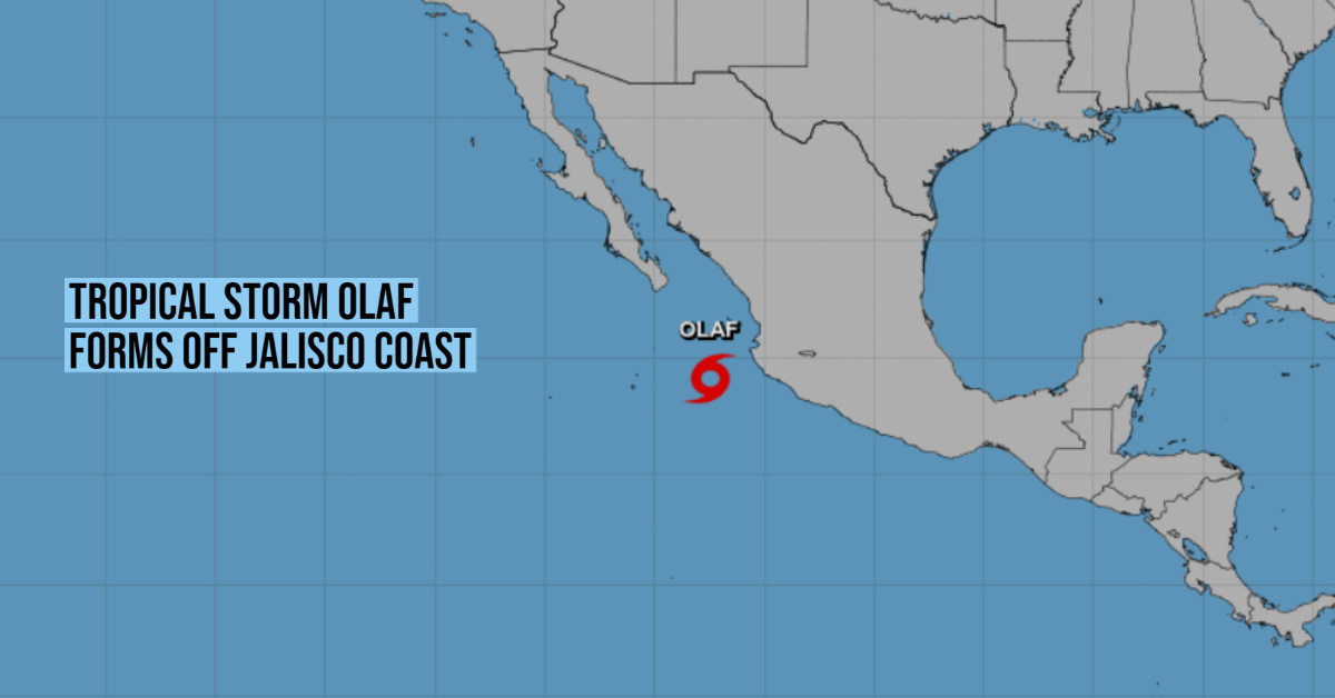
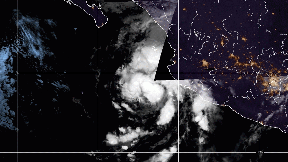
The National Meteorological Service (SMN) reported the formation of Tropical Storm Olaf is located very close to the coast of Jalisco, just 255 kilometers southwest of Cabo Corrientes. In the next few hours, it will hit several states with its cloud bands, generating intense rains, severe winds, and high waves in western Mexico.
The largest accumulations are forecast in Nayarit and Jalisco, with records ranging from 75 to 150 mm. In addition, very strong precipitations are expected in Michoacán, from 50 to 75 millimeters, and strong in Baja California Sur, Sinaloa, and Colima, from 25.1 to 50 mm.
“Wind gusts of 60 to 70 kilometers per hour and waves of two to four meters of significant height are also forecast on the coasts of Nayarit, Jalisco, Colima, Michoacán, and Baja California Sur,” the climate agency added in its report.
For the expected effects, the SMN, in coordination with the Miami National Hurricane Center (NHC), issued a warning for tropical storm effects from Los Barriles to Santa Fe, Baja California Sur towns.
In addition, experts warned that in the next few hours Olaf will interact with tropical wave number 27 and with the instability of the upper atmosphere. Together, these three phenomena will cause heavy rains in Mexico City, Durango, the State of Mexico, Guerrero, Morelos, Puebla, Sinaloa and Zacatecas; showers in Aguascalientes, Baja California, Guanajuato, Nuevo León, San Luis Potosí, Sonara, Tamaulipas and Tlaxcala, from 5.1 to 25 millimeters; as well as isolated records in Chihuahua, Coahuila, Hidalgo and Querétaro, up to 5 mm.
Throughout the week, Olaf will continue to gain strength in the Pacific but according to the latest report, the chances of evolving into a hurricane have decreased. For now, it registers maximum sustained winds of 65 kilometers per hour, and by the morning of Thursday, September 9, these are expected to move between 110 and 120 km / h. From 118 km / h the storm would be considered a hurricane. For this reason, they ask the population to keep abreast of the information issued by state Civil Protection agencies.
Tropical Storm Olaf will move in the next few days through the water, heading northwest, moving a short distance from the Mexican coast. It will pass in front of Nayarit and Sinaloa, and it will get closer to Baja California Sur.
The current trajectory forecast drawn up by the SMN indicates that the storm will not make landfall in the Baja California Peninsula, but it will approach the coast. On the morning of Friday, September 10, it will be just 170 kilometers southwest of Santa Fe, and 206 kilometers from Cabo San Lazaro.
In addition, it will be necessary to be aware of its evolution, because as of Thursday its winds will reach almost hurricane force, and could intensify to a category 1 phenomenon on the Saffir-Simpson scale.
The National Meteorological Service (SMN) reported the formation of Tropical Storm Olaf is located . . .


")


