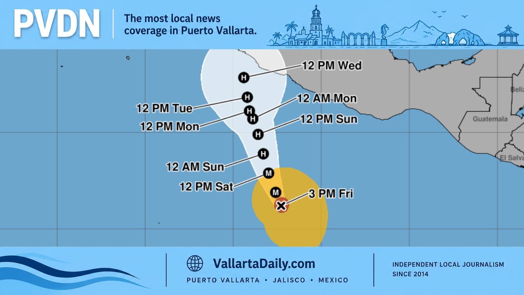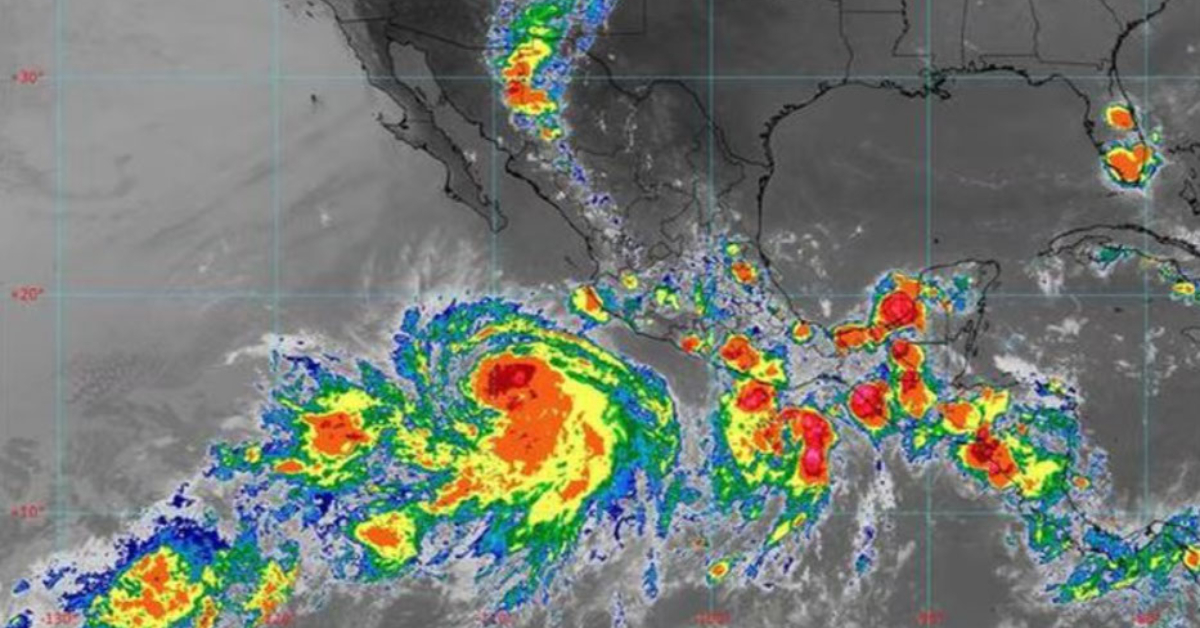
PUERTO VALLARTA (PVDN) – Hurricane ‘Adrián’, currently a Category 2 storm on the Saffir-Simpson scale, is moving away from the Mexican coast, thus far without causing any reported damage to the country. At 04:00 hours (central Mexico time) the eye of the storm was located approximately 715 kilometers southeast of Cabo San Lucas, Baja California Sur.
Forecasters predict ‘Adrián’ to weaken in the next few hours and be downgraded to a Category 1 hurricane by noon this Friday, June 30. By Saturday, July 1, it is projected to further weaken into a tropical storm and continue its outward trajectory from Mexican territory.
At present, ‘Adrián’ is packing maximum sustained winds of 155 kilometers per hour, with gusts reaching up to 195 kilometers per hour. The storm is moving in a northeasterly direction at a speed of 11 kilometers per hour.
Despite ‘Adrián’s’ outward movement, the National Meteorological Service (SMN) has issued rainfall warnings across 31 states of the Republic this Friday, June 30. Torrential downpours are expected in the states of Colima, Guerrero, Jalisco, and Michoacán. Meanwhile, intense rains are anticipated in Chiapas and Oaxaca, with varying degrees of rain forecast across the remaining states.
In addition, the coasts of Colima, Guerrero, Jalisco, and Michoacán are bracing for wind gusts of 100 to 120 km/h and waves as high as 3 to 5 meters. Baja California Sur, currently distant from the main storm, is expected to experience waves of 1 to 3 meters high.
High winds with gusts of 60 to 80 km/h and accompanying dust storms are expected in several states, including Chihuahua, Coahuila, Durango, Nuevo León, San Luis Potosí, Tamaulipas, and Zacatecas. In Aguascalientes, Guanajuato, Hidalgo, and Querétaro, gusts could reach 40 to 60 km/h, with potential dust storms also forecast.
In related news, tropical cyclone Beatriz is expected to intensify into a Category 1 hurricane, tracking parallel to the coasts of Colima, Jalisco, and Michoacán. Both ‘Adrián’ and Beatriz are contributing to the widespread weather conditions due to the presence of low-pressure channels extending over the Mesa del Norte, Mesa Central, and the southeast of the country, along with the abundant influx of moisture from both coasts.
Given the widespread and severe weather conditions, the SMN has urged citizens in affected areas to exercise extreme caution due to rain, wind, and waves (including maritime navigation). They are also asked to comply with the recommendations issued by authorities from the National Civil Protection System in each entity.