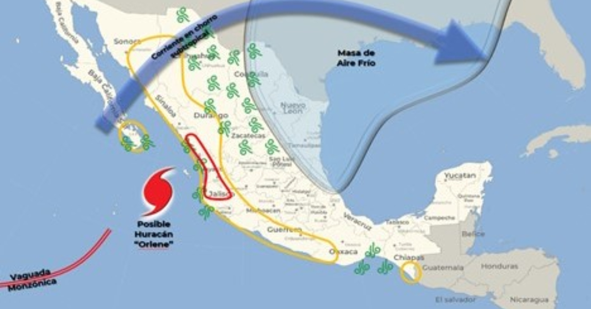
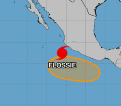
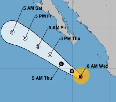
On Saturday and Sunday, Hurricane Orlene will move as a hurricane to the north-northeast, along the coast of Mexico, with a probable path towards Sinaloa, where its center could impact as a tropical storm on Monday.
On its way, it’s expected to become a hurricane and will cause a probability of intense rains in Sinaloa, Durango, Nayarit, and Jalisco, as well as heavy to very heavy rains in Baja California Sur, Sonora, and Colima, in addition to strong gusts of wind and high waves on the coasts of Jalisco, Nayarit, Sinaloa, and Baja California Sur.
During the forecast period, the influx of moisture from the Pacific Ocean, Gulf of Mexico, and Caribbean Sea will cause showers and heavy to very heavy rains over states in the northwestern, central, southern, and southeastern parts of the country.
The mentioned meteorological systems will cause the following effects :
Saturday, October 01:
Very strong rains with intense punctual (75 to 150 mm): Sinaloa, Nayarit and Jalisco.
Heavy rains with very strong points (50 to 75 mm): Colima, Michoacán, Guerrero, Oaxaca and Chiapas.
Wind with gusts of 60 to 70 km/h and waves of 2 to 4 meters in height: coasts of Nayarit and Jalisco.
On Saturday and Sunday, Hurricane Orlene will move as a hurricane to the north-northeast, along the coast of Mexico, with a probable path . . .


