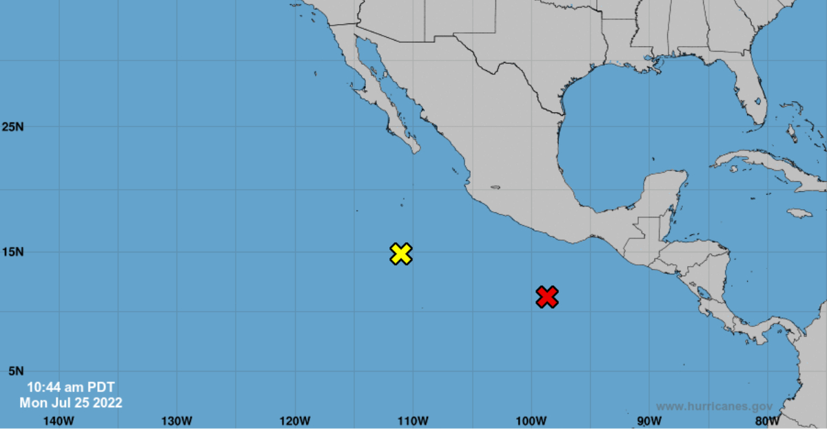
Shower and thunderstorm activity is showing signs of organization in association with an area of low pressure located a few hundred miles south of the coast of southern Mexico.
Recent satellite-derived wind data also indicates the circulation is gradually becoming better defined. Environmental conditions appear conducive to additional development, and this system is expected to become a tropical depression over the next day or so.
This low-pressure area is forecast to move generally westward at 10 to 15 mph, remaining well south of the coast of southern and southwestern Mexico during the next several days.
If the forecast holds, Tropical Storm Frank will develop in the coming days off the coast of Mexico, making it the sixth named storm of the Pacific Hurricane Season in 2022.
For 2022, 9 hurricanes and 8 tropical storms are predicted for the Pacific Ocean; that is, 17 named storms when the typical number is 15.
Without a doubt, the hurricane season affects the population in general, but especially the providers of tourist services on beaches, since these storms generate torrential rains, strong winds, and waves, so it is recommended to take the necessary precautions.
According to the World Meteorological Organization (WMO), the reason why this year will be more active in the Pacific Ocean is due to the presence of the “La Niña” phenomenon, which produces changes in the direction and strength of the winds.
Shower and thunderstorm activity is showing signs of organization in association with an area of low pressure located a few hundred miles south of . . .


