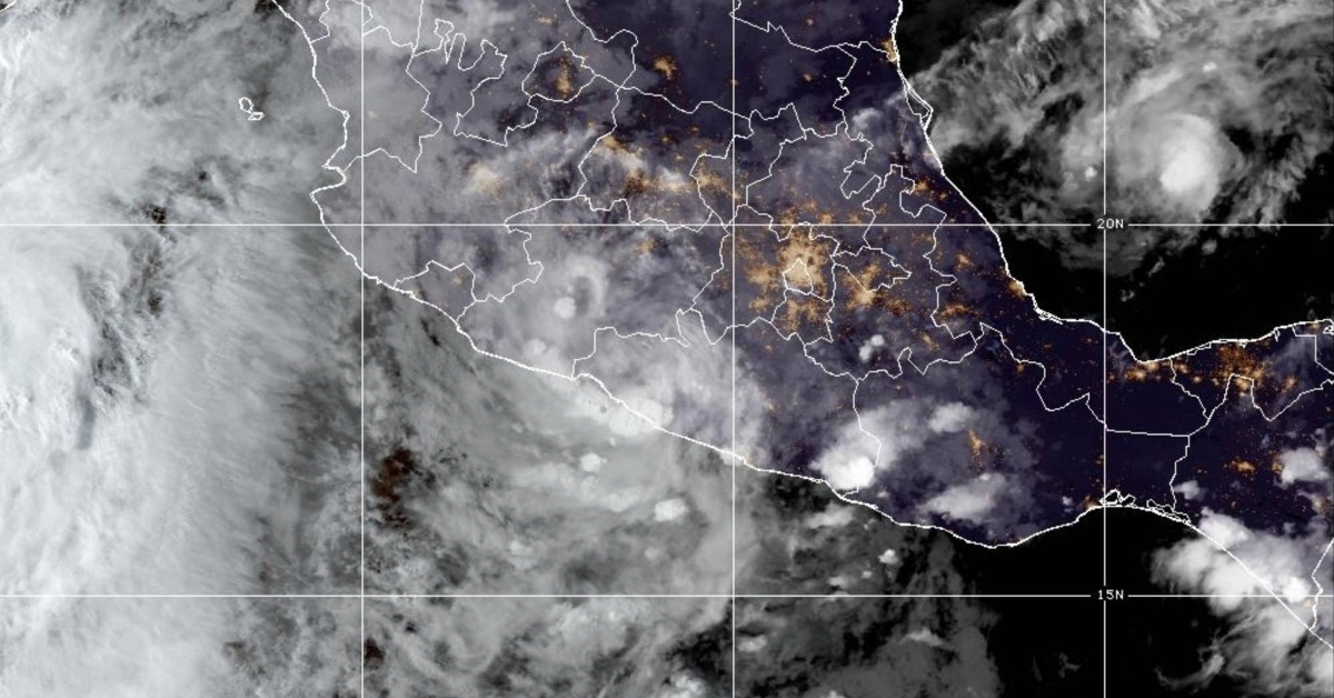
Puerto Vallarta, Mexico – The National Meteorological Service (SMN) has issued a significant weather advisory following the identification of a low pressure zone off the coasts of Colima and Michoacán, which has a 50% chance of developing into a cyclone within the next 48 hours and the same probability over the next seven days.
According to the latest data from the agency, this meteorological phenomenon was situated approximately 564 kilometers south-southeast of Lázaro Cárdenas, Michoacán, moving northwest at a speed of 16 to 24 kilometers per hour.
“On Wednesday, a low pressure zone with a probability of cyclonic development will move off the coasts of Michoacán, Colima, and Jalisco, interacting with instability at high levels of the atmosphere, causing very heavy rains to intense rainfall accompanied by electrical discharges in the west and south of the Mexican territory,” the SMN detailed.
The forecast indicates strong winds, waves, and the possible formation of waterspouts along the coasts of Guerrero, Michoacán, and Colima. As a result of this cyclonic development, intense rainfall (75 to 150 millimeters [mm]) is expected in Chihuahua, Guerrero, Michoacán, and Sonora. Additionally, very heavy rainfall (50 to 75 mm) is predicted for Colima, Durango, State of Mexico, Guanajuato, Jalisco, Morelos, Nayarit, Sinaloa, Puebla, and Veracruz. Heavy rainfall (25 to 50 mm) is anticipated in Mexico City, Hidalgo, Querétaro, San Luis Potosí, and Tlaxcala, while showers (5 to 25 mm) are forecast in Tamaulipas and Zacatecas, and isolated rain (0.1 to 5 mm) in Aguascalientes, Baja California Sur, Coahuila, and Nuevo León.
The coasts of Guerrero and Michoacán can expect winds with gusts of 40 to 60 kilometers per hour (km/h) and waves reaching heights of 1 to 3 meters, according to predictions shared by the Conagua agency.
“The most intense rainfall forecast is expected to include electrical discharges and hail of different sizes, which will cause flooding, as well as an increase in river and stream levels, overflows, landslides and flooding, so the population of the affected states is advised to follow the instructions of Civil Protection,” the National Meteorological Service stated through its official communication channel.
In light of these developments, the Guerrero Secretariat for Comprehensive Risk Management and Civil Protection has announced via its official X account that it will maintain surveillance over the low pressure zone. The Secretariat has called on the population to stay informed about the evolution and trajectory of the weather system.
As a preventive measure, operational personnel in Chilpancingo conducted patrols in areas prone to flooding to provide assistance to the population if necessary. Civil Protection of Colima has similarly indicated that it will monitor the situation across its ten municipalities, where light rains were recorded as of the afternoon of July 2.
The public is urged to stay updated on weather reports and heed any advisories issued by local authorities. The potential for severe weather highlights the importance of preparedness and caution as the low pressure zone continues to develop.
Puerto Vallarta, Mexico - The National Meteorological Service (SMN) has issued a significant weather advisory following the identification of a low pressure zone off the coasts of Colima and Michoacán, which has a 50% chance of developing into a cyclone within the next 48 hours and the same probability over the next seven days.


