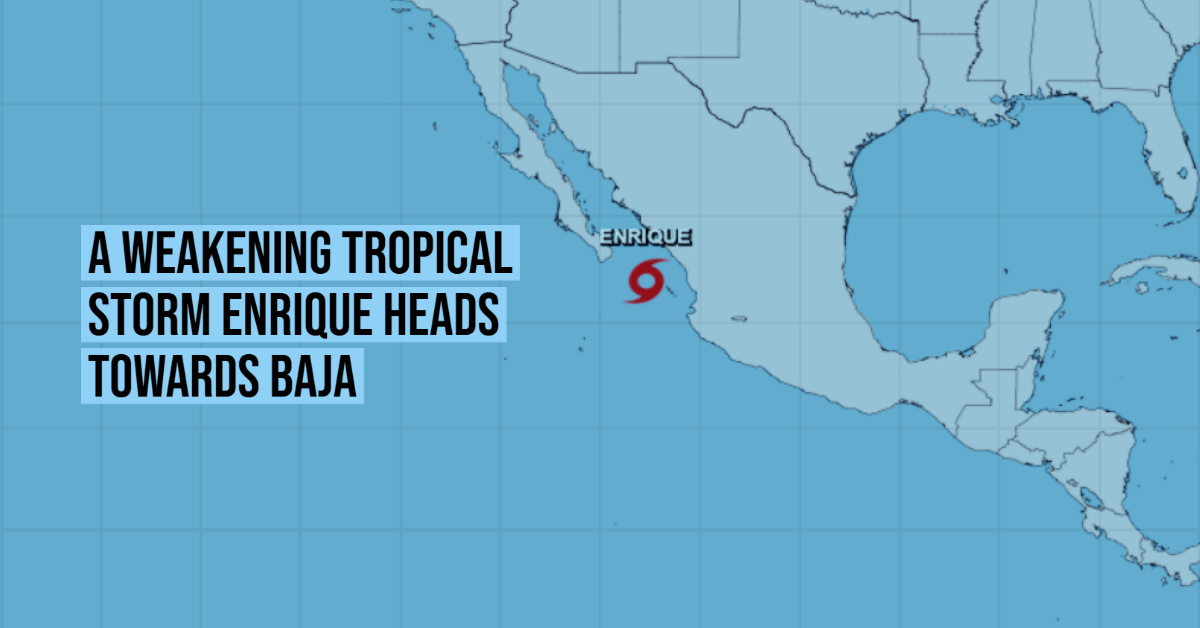
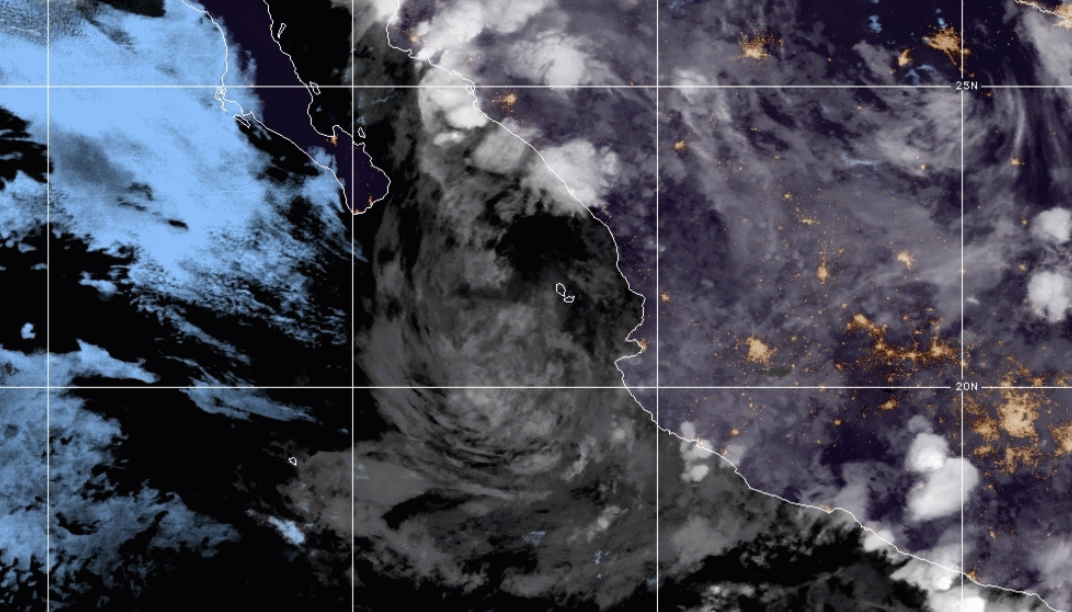
Enrique, downgraded to a tropical storm, continues to advance through the Pacific Ocean, heading for the Baja California Peninsula.
As reported by the National Meteorological Service (SMN), the center of the cyclone was located early Tuesday, June 29, off the coast of San Blas, Nayarit, and about 275 kilometers east-southeast of Cabo San Lucas, Baja California South.
In the next few hours, Enrique will move parallel to the coasts of Mexico, and its wide cloud bands will extend over the west of the country causing abundant rainfall in the following states:
- Baja California Sur, Sinaloa and Durango: heavy rains, from 75 to 150 millimeters.
- Sonora and Nayarit: very heavy rains, from 50 to 75 mm.
In addition, the wide circulation of the tropical storm will also alter maritime conditions. According to the climatic organism, the gusts of wind could reach 90 km / h in the coast of Jalisco and Nayarit; while in Sonora, Chihuahua, Sinaloa, as well as in the Peninsula and the Gulf of Baja California, they will be in the order of 60 to 70 km / h.
At the same time, high waves are forecast, up to four meters high, in Baja California Sur and Sinaloa, and one to three meters in Nayarit and Jalisco.
At the moment, Enrique registers maximum sustained winds of 85 kilometers per hour, with more intense gusts of 100 kilometers per hour. It advances towards the northwest, approaching the Peninsula of Baja California.
If tropical storm Enrique maintains its course and trajectory, it could make landfall in Baja California Sur between the night of Tuesday 29 June and the early morning of Wednesday 30 June, according to the trajectory forecast drawn up by the SMN.
The impact would foreseeably occur somewhere in the southeast of the state. From the climate agency, they decreed a surveillance zone from Cabo San Lucas to Los Barriles due to the effects that the system may generate as it approaches the coasts.
According to Jesús Montes Ortíz, manager of Surface Water and River Engineering of the National Water Commission (Conagua), in Baja California Sur the level of the Los Pocitos, San José, El Zacatal, San Pablo, and El Salto streams are being monitored. The capacity of La Buena Mujer, La Higuerilla, La Palma, Santa Inés and Ihuagil dams are also being monitored.
This supervision work is also carried out in Sinaloa, where the levels of the Culiacán, San Lorenzo, Elota, El Quelite and Presidio rivers is observed; as well as the following dams: Aurelio Benassini Vizcaíno, Juan Guerrero Alcocer, Comedero, Sanalona, Eustaquio Buelna and Adolfo López Mateo.
In Nayarit, the channel of the Acaponeta, San Pedro, Santiago and Ameca and the filling of the Derivadora San Rafael, El Cajón and Aguamilpa dams are monitored.
The population of the states affected by Enrique’s passage is urged to keep informed of the updates of the National Civil Protection System.
Related News
Enrique, downgraded to a tropical storm, continues to advance through the Pacific Ocean, heading for the Baja California Peninsula.
As reported by . . .
")


