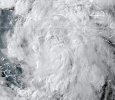
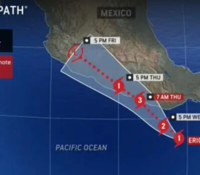
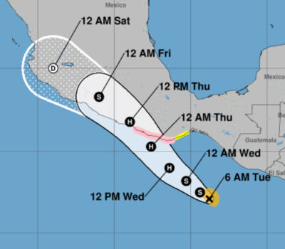
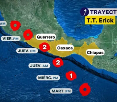
Hurricane Erick made landfall in Oaxaca and is now weakening as it moves north, but Jalisco could still receive up to 6 inches (15 cm) of rain, raising flooding and landslide concerns.
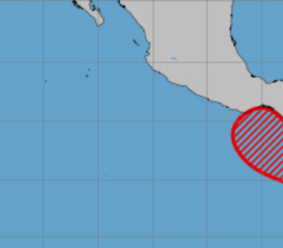
Puerto Vallarta, Mexico – Hurricane Erick made landfall in the state of Oaxaca earlier today and is beginning to weaken as it moves inland, but the danger is far from over. According to the latest advisory from the U.S. National Hurricane Center, the storm is still packing enough moisture to dump significant rainfall across western Mexico, with the states of Jalisco, Colima, and Michoacán bracing for possible flooding.
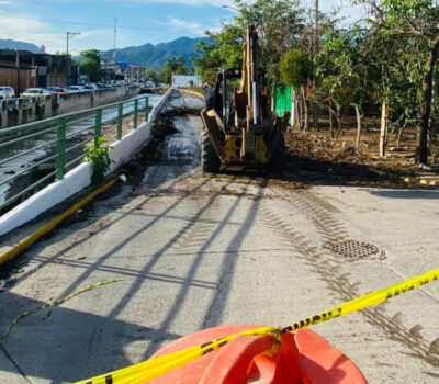
The heaviest rain is currently impacting Oaxaca and Guerrero, where an additional 6 to 8 inches (15 to 20 centimeters) of rainfall is expected, bringing storm totals up to 16 inches (over 40 centimeters) in isolated areas. These extreme amounts are likely to cause life-threatening flooding and mudslides, especially in mountainous and steep terrain.
As Erick continues moving northward, the states of Jalisco, Colima, and Michoacán are forecast to receive 2 to 4 inches (5 to 10 cm) of rain, with localized areas possibly seeing up to 6 inches (15 cm). The Jalisco Civil Protection agency has issued alerts for potential flash flooding and landslides in rural and hilly regions of the state.
“This isn’t over yet,” a meteorologist from the Servicio Meteorológico Nacional (SMN) said. “Even though Erick is weakening, the amount of moisture it’s carrying remains significant. Areas from Puerto Vallarta to Guadalajara need to stay alert through the next 24 to 36 hours.”
Coastal conditions remain dangerous
Although the hurricane’s winds are weakening inland, the coasts of Oaxaca and Guerrero remain under threat. Hurricane-force gusts may persist for the next few hours, with tropical storm conditions continuing into the late afternoon. On higher terrain and windward slopes, gusts can be 30% stronger than at ground level.
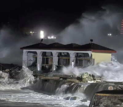
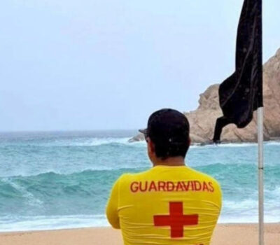
Coastal communities are also dealing with storm surge, which is causing flooding in low-lying areas and contributing to large, destructive waves. Residents along the Pacific coast are being warned to stay away from beaches and exercise extreme caution.
The U.S. National Weather Service has also warned of life-threatening surf and rip currents generated by the storm’s swells. These conditions are expected to persist throughout the day.
What’s next for western Mexico
Meteorologists expect Erick to continue weakening as it tracks inland, but the rainfall threat will linger across west-central Mexico. Flash flooding and mudslides remain a serious concern in affected regions. Municipal and state emergency services have been put on high alert.
In Jalisco, the anticipated rainfall could cause rivers and streams to swell rapidly. Authorities have advised residents living near riverbanks or on unstable hillsides to prepare for possible evacuations.
For international readers and travelers in the region, 6 inches of rain equals approximately 15 centimeters—a significant amount, particularly in a short time period and across vulnerable terrain.
Travelers should monitor updates from local emergency services and consult official weather updates through hurricanes.gov for the latest rainfall projections.
As always during hurricane season, staying informed and prepared can make all the difference.
Hurricane Erick made landfall in Oaxaca and is now weakening as it moves north, but Jalisco could still receive up to 6 . . .


