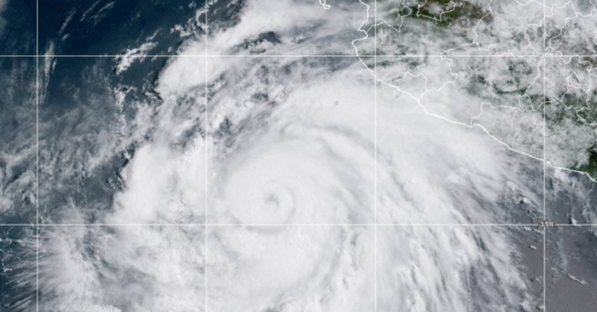
PUERTO VALLARTA (PVDN) – Hurricane Hilary has intensified to a Category 2 hurricane on the Saffir-Simpson scale, but no warning has been issued for the Jalisco region as the storm does not pose an immediate threat of impact on the bay, according to meteorologist Victor Manuel Cornejo Lopez. The hurricane currently boasts winds of 160 kilometers per hour (km/h) and is expected to continue strengthening.
“It has not yet reached its greatest strength. It will be a major hurricane, and it could even reach Category 5,” Lopez said.
Though the storm’s trajectory will take it farther from the coast, remnants of the storm, including storm cells and clouds, could generate heavy rains along the western Sierra Madre. Lopez, who is also an adviser to the Scientific Council for Civil Protection of the Bay, confirmed that the municipalities of Puerto Vallarta and Cabo Corrientes in Jalisco, as well as Bahía de Banderas in Nayarit, may begin to experience rainfall and increased wave activity over the weekend. However, he emphasized that there is no risk to the Jalisco coast at this time.
The storm could bring heavy rains and high waves to the region as it passes through this latitude. However, there is no warning issued for the area, and no meeting of the scientific committee is planned at this time.
According to the National Meteorological Service, as of 12:00 p.m. Central Mexico time, Hurricane Hilary was located 540 kilometers (km) southwest of Playa Pérula, Jalisco, and 805 km south-southeast of Cabo San Lucas, Baja California Sur. It had maximum sustained winds of 165 km/h, gusts of 205 km/h, and was moving west-northwest at 22 km/h.
While Hurricane Hilary continues to evolve, residents of Jalisco and surrounding areas are encouraged to monitor local weather updates and follow any recommendations from authorities.
PUERTO VALLARTA (PVDN) - Hurricane Hilary has intensified to a Category 2 hurricane on the Saffir-Simpson scale, but no warning has been issued for . . .


