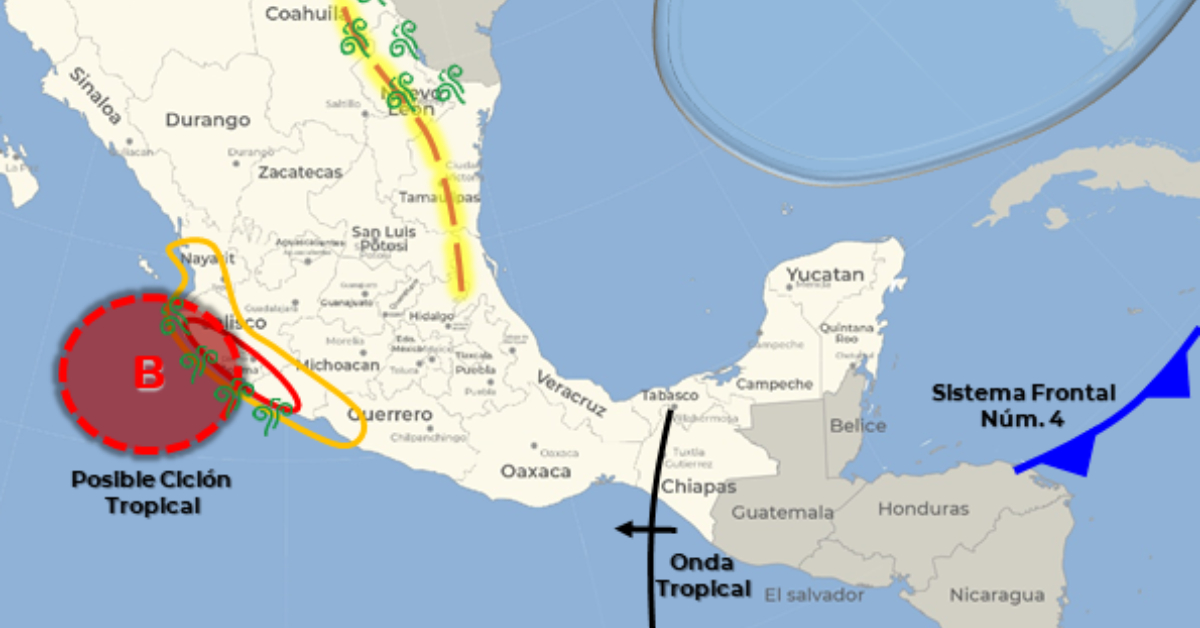
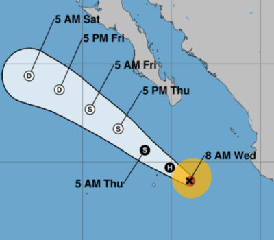
During the course of Friday, a tropical storm with the potential to develop into a hurricane will be located off the coast of Colima, causing heavy rains in the west and south Mexico, with intense punctual rains in Michoacán, as well as strong gusts of wind and high waves on the coasts of Jalisco, Colima, and Michoacán.
On Saturday, the tropical storm (or possible hurricane) will be located off the coast of Jalisco and will move with a possible trajectory towards Nayarit or Sinaloa, causing very heavy rains in Nayarit and intense rains in Jalisco, Colima, and Michoacán.
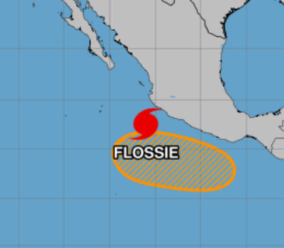
If the forecast holds, the system could develop into a named storm on Thursday, taking the name Roslyn.
The hurricane season officially began on May 15 in the Eastern Pacific, and will end on November 30. These dates historically describe the period each year when most tropical cyclogenesis occurs in these regions of the Pacific and are adopted by convention.
Plan your weekend
Thursday, October 20:
- Very strong rains with intense downpours (75 to 150 mm) : Guerrero, Chiapas and Tabasco.
- Heavy rains with very strong downpours (50 to 75 mm) : Michoacán and Campeche.
- Intervals of showers with strong punctual rains (25 to 50 mm) : Oaxaca, Veracruz and Quintana Roo.
- Intervals of showers (5 to 25 mm) : Nayarit, Jalisco, Colima, State of Mexico, Puebla and Yucatan
- Wind with gusts of 70 to 80 km/h and waves of 3 to 5 meters high : coasts of Guerrero and Michoacán.
Friday, October 21:
- Very strong rains with intense downpours (75 to 150 mm) : Michoacán.
- Heavy rains with very strong downpours (50 to 75 mm) : Colima and Guerrero.
- Intervals of showers with occasional strong rains (25 to 50 mm) : Jalisco and Chiapas.
- Shower intervals (5 to 25 mm) : Nayarit, State of Mexico, Mexico City, Morelos, Tlaxcala, Puebla, Oaxaca, Veracruz, Tabasco and Quintana Roo.
- Isolated rains (0.1 to 5 mm) : Sinaloa, Durango and Campeche.
- Wind with gusts of 70 to 80 km/h and waves of 3 to 5 meters high : coasts of Jalisco, Colima and Michoacán.
Saturday, October 22:
- Very strong rains with intense downpours (75 to 150 mm) : Jalisco, Colima and Michoacán.
- Heavy rains with very strong downpours (50 to 75 mm) : Nayarit.
- Intervals of showers with isolated heavy rains (25 to 50 mm) : Guerrero.
- Wind with gusts of 80 to 100 km/h and waves of 4 to 6 meters high : coasts of Jalisco and Colima.
- Wind with gusts of 60 to 70 km/h and waves of 1 to 3 meters high : coast of Michoacán.
All forecast showers could be accompanied by lightning, strong gusts of wind, and possible hail.
The forecast rains in the very heavy (50 to 75 mm) to intense (75 to 150 mm) ranges could cause an increase in the levels of rivers and streams, landslides and floods in low-lying areas.
During the course of Friday, a tropical storm with the potential to develop into a hurricane will be located off the coast of Colima . . .


