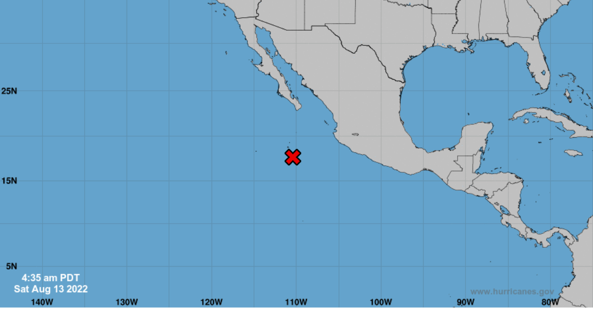
Overnight satellite-derived winds showed a small surface circulation has formed in association with the low-pressure area located a few hundred miles west-southwest of Manzanillo, Mexico.
The associated shower and thunderstorm activity has also increased within the past few hours. If this activity were to continue, a short-lived tropical depression could form later today or this evening while the system moves west-northwestward to northwestward at 10 to 15 mph.
There is currently a 70% chance of development and could become the ninth named storm of the season, taking on the name Tropical Storm Ivette.
The storm is taking the same path that Tropical Storm Howard took earlier this week along the coast of Mexico and generating heavy rains. The weather service warns of very heavy rains today in Jalisco.
For 2022, 9 hurricanes and 8 tropical storms are predicted for the Pacific Ocean; that is, 17 named storms when the typical number is 15.
Without a doubt, the hurricane season affects the population in general, but especially the providers of tourist services on beaches, since these storms generate torrential rains, strong winds, and waves, so it is recommended to take the necessary precautions.
According to the World Meteorological Organization (WMO), the reason why this year will be more active in the Pacific Ocean is due to the presence of the “La Niña” phenomenon, which produces changes in the direction and strength of the winds.
Overnight satellite-derived winds showed a small surface circulation has formed in association with the low-pressure area located a few hundred miles west . . .


")


