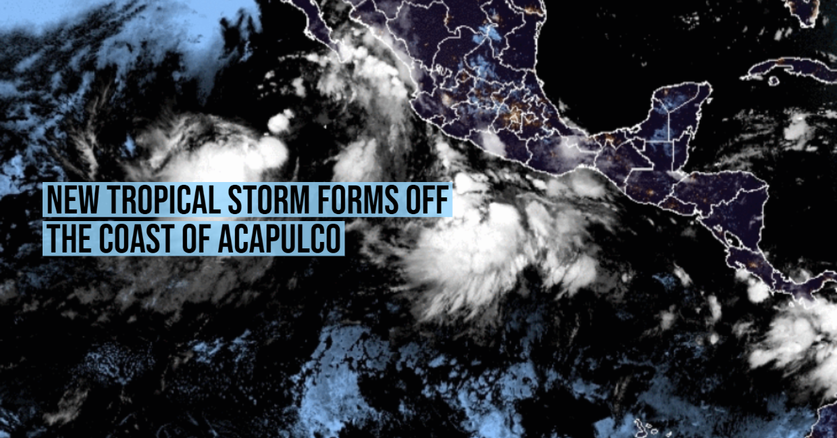
At dawn on Tuesday, August 10, tropical depression 12-E formed in the Pacific Ocean.
The National Meteorological Service (SMN) reported that the system is located just 445 kilometers south of Acapulco, Guerrero. Its winds reach speeds of 55 kilometers per hour, with stronger gusts of up to 75 km / h.
According to the trajectory forecast by the weather agency, 12-E will not make landfall in Mexico. It will move towards the northwest, a short distance from the coast, and will rapidly increase in intensity.
It is expected that throughout the morning, the depression will evolve into a tropical storm, with winds that would exceed 65 kilometers per hour. Its bands will extend over the west of the country and will favor the rainy conditions in the following states:
- Michoacán, Guerrero and Oaxaca : very heavy rainfall, from 50.1 to 75 mm.
- Chiapas: strong punctual rains, from 25.1 to 50 mm.
In addition, it will cause waves of two to three meters high on the coast of Guerrero, and winds that will go from 55 to 75 kilometers per hour in the vicinity of the system.
At the moment, the National Civil Protection Coordination has not activated any alert, but it did urge the population of the affected states to “take extreme precautions due to rain, wind, and waves (including maritime navigation).”
If the forecasts are fulfilled, 12-E would become Tropical Storm Linda, the 12th system that forms this cyclone season in the Pacific Ocean, in a few hours. But in addition, forecasts indicate that the storm will gain enough energy to become a hurricane on Thursday.
Tropical Storm Kevin
In addition to depression 12-E, Tropical Storm Kevin, located 640 kilometers southwest of Cabo San Lucas, moves through the Pacific Ocean this Tuesday.
Through a statement, the SMN reported that the cyclone registers maximum sustained winds of 75 kilometers per hour, with gusts of 95 km / h.
Although it will not make landfall in Mexico either, it will have effects in several states in the west of the country.
“Its circulation will cause winds with gusts of 50 to 60 km / h, waves of 1 to 2 meters high on the coasts of Baja California Sur, Nayarit, Jalisco, and Colima, as well as strong occasional rains in the aforementioned states,” said the weather center.
According to forecasts, the storm will weaken in the early morning of Thursday, August 12, at which time it will degrade to a tropical depression.
Names for the Northeast Pacific: Andrés -already used-, Blanca -already used-, Carlos -already used-, Dolores -already used-, Enrique -already used-, Felicia -already used-, Guillermo -already used-, Hilda -already used-, Ignacio -already used-, Jimena -already used-, Kevin -already used-, Linda, Marty, Nora, Olaf, Pamela, Rick, Sandra, Terry, Vivian, Waldo, Xina, York, Zelda.